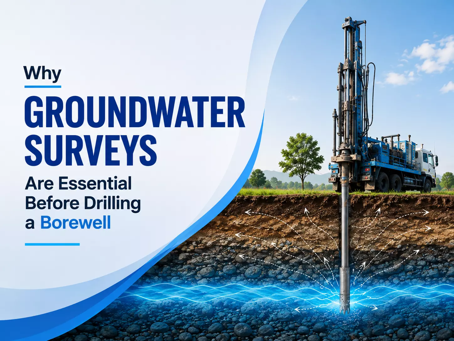
Why Groundwater Surveys Are Essential Before Drilling a Borewell
Borewells are widely used for accessing groundwater for domestic, agricultural, commercial, and industrial requirements.
However, drilling a borewell without understanding the underground geological conditions can result in poor water yield, unnecessary expenditure, or even a completely unsuccessful drilling attempt.
Groundwater is not distributed uniformly beneath the surface, and its availability depends on factors such as rock formations, fractures, aquifer characteristics, recharge conditions, and local geology.
A scientific assessment before drilling helps determine whether groundwater is likely to be available, where it may occur, and at what depth drilling is more appropriate.
This makes groundwater investigation an important preliminary step rather than an optional activity. A properly planned Ground water survey can provide valuable information for making better decisions about borewell location and drilling depth.
Understanding Groundwater Before Borewell Drilling
Groundwater exists beneath the Earth's surface within soil, sediments, and geological formations. Water may accumulate in porous formations or move through fractures and weathered zones within hard rocks.
Because these underground conditions cannot be observed directly from the surface, relying only on nearby borewell experiences or surface indicators may not provide sufficient information.
The geological structure can change considerably even across relatively short distances. One location may have a productive aquifer while another nearby location may have limited groundwater potential. This variation makes systematic investigation important when selecting a suitable drilling location.
Why Underground Conditions Matter
The success of a borewell depends on factors such as the presence of aquifers, depth of weathered zones, fracture patterns, rock type, groundwater movement, and recharge potential. Understanding these conditions before drilling can help reduce uncertainty and support more informed planning.
The Role of Groundwater Resource Assessment
Groundwater resource assessment involves evaluating the availability, distribution, and characteristics of groundwater within a particular area. It provides a broader understanding of underground water resources and can help determine whether groundwater extraction is likely to be sustainable.
Assessment may involve studying geological maps, existing groundwater data, topography, drainage patterns, soil characteristics, rainfall conditions, and information from existing wells.
Depending on the site, field investigations and geophysical techniques may also be used to understand subsurface formations.
A detailed assessment is particularly valuable in areas where groundwater levels vary significantly or where the geology is complex.
What Is a Ground Water Survey for Borewell?
A ground water survey for borewell is an investigation conducted to identify areas with favourable groundwater potential before drilling.
The objective is to reduce uncertainty regarding the proposed drilling location and provide information that can support decisions about borewell placement and depth.
Such surveys may use geological observations and geophysical methods to identify subsurface formations that could contain or transmit groundwater.
The information obtained from these investigations can help distinguish potentially favourable zones from areas where groundwater prospects may be comparatively poor.
Identifying Potential Water-Bearing Zones
Groundwater commonly occurs in aquifers, fractured rocks, weathered formations, and porous sediments. A survey can help identify geological features associated with groundwater occurrence.
In hard-rock regions, fractures and weathered zones can play an especially important role in groundwater storage and movement. Identifying these features can improve the understanding of where drilling may have a greater probability of encountering water-bearing formations.
How Geophysical Methods Support Groundwater Investigation
Geophysical techniques are commonly used to investigate subsurface conditions without immediately resorting to extensive drilling. Electrical resistivity methods, for example, can help identify variations in subsurface materials based on their electrical properties.
Different geological formations can exhibit different resistivity characteristics depending on factors such as moisture content, porosity, mineral composition, and saturation.
Interpreting these variations alongside geological information can provide useful insights into possible subsurface water-bearing zones.
A geophysical investigation does not guarantee a specific quantity of groundwater. Instead, it provides evidence that can improve the geological understanding of a site and support more informed drilling decisions.
Importance of a Borewell Hydrogeological Survey
A borewell hydrogeological survey considers the relationship between geology, groundwater occurrence, groundwater movement, and the physical characteristics of the site.
Hydrogeological information can help explain how groundwater is likely to occur and behave within the investigated area.
This type of investigation can be particularly useful when planning borewells for agriculture, residential developments, industrial facilities, or other applications where dependable groundwater availability is important.
Evaluating Aquifer Conditions
Aquifers differ in their ability to store and transmit groundwater. Some formations can provide relatively productive groundwater sources, while others may have limited storage or poor transmission characteristics.
Understanding aquifer conditions before drilling can help in estimating the likely groundwater potential of an area and planning the borewell according to the site's geological characteristics.
Reducing the Risk of Unsuccessful Drilling
Borewell drilling involves significant financial and logistical commitments. Drilling at an unsuitable location can lead to inadequate water yield or failure to encounter a productive water-bearing zone.
A preliminary Ground water survey cannot eliminate all uncertainty because underground conditions are naturally variable. However, it can reduce the dependence on guesswork by providing geological and geophysical evidence before drilling begins.
This is especially important when multiple borewells are being considered or when drilling costs are substantial.
Supporting Sustainable Groundwater Use
Groundwater assessment is not only about finding water. It is also about understanding whether groundwater extraction can be maintained over time. Excessive withdrawal can lower groundwater levels, reduce well productivity, and place pressure on local aquifer systems
.
A comprehensive groundwater resource assessment can contribute to better groundwater planning by considering recharge conditions, existing extraction, seasonal variations, and aquifer characteristics. These factors are important for balancing groundwater use with natural replenishment.
Importance of Recharge Potential
Rainfall and surface-water infiltration contribute to groundwater recharge in many areas. However, recharge rates vary according to soil type, land use, topography, rainfall patterns, and geological conditions.
Understanding recharge characteristics can provide useful context when evaluating the long-term viability of groundwater extraction.
Factors Considered During a Groundwater Survey
A groundwater investigation generally considers several physical and environmental characteristics of the site.
Geological formations, rock types, fractures, weathered zones, surface drainage, topography, existing wells, groundwater levels, and local hydrogeological conditions can all contribute to the assessment.
Historical information from nearby borewells may also provide useful supporting evidence. However, such information should not be treated as definitive because groundwater conditions can vary between locations.
Combining multiple sources of information provides a stronger basis for interpreting groundwater potential.
When Should a Groundwater Survey Be Conducted?
Ideally, groundwater investigation should be carried out before finalising the borewell drilling location.
Conducting the assessment early allows geological information to be incorporated into the planning process and can reduce the possibility of spending resources on an unsuitable drilling site.
It can also be useful when evaluating additional borewell locations, investigating declining water levels, or planning groundwater-dependent developments.
Conclusion
Drilling a borewell without understanding subsurface conditions can involve considerable uncertainty. Groundwater occurrence depends on complex geological and hydrogeological factors that are not always visible at the surface.
A ground water survey for borewell provides a scientific approach to evaluating potential drilling locations, while a borewell hydrogeological survey helps develop a better understanding of aquifers, geological formations, and groundwater behaviour.
Similarly, groundwater resource assessment provides a broader perspective on groundwater availability and sustainable use.
Although no survey can guarantee a particular water yield, systematic investigation can reduce unnecessary risk, improve drilling decisions, and support more responsible groundwater development.
For this reason, groundwater assessment should be considered an important part of borewell planning rather than an afterthought.
Frequently Asked Questions
1. Why is a groundwater survey important before drilling a borewell?
A groundwater survey helps investigate subsurface geological conditions and identify areas with potentially favourable groundwater characteristics. It can reduce reliance on guesswork and help inform decisions about borewell location and drilling depth.
2. Does a ground water survey guarantee that a borewell will produce water?
No. Groundwater conditions are naturally variable, and no survey can guarantee a specific water yield. A survey provides geological and geophysical information that can improve the probability of making an informed drilling decision.
3. What is a borewell hydrogeological survey?
A borewell hydrogeological survey evaluates geological formations, aquifer conditions, groundwater movement, and other factors influencing groundwater occurrence. It helps develop a scientific understanding of the site's groundwater potential.
4. How does groundwater resource assessment support sustainable water use?
Groundwater resource assessment considers factors such as groundwater availability, recharge conditions, existing extraction, and aquifer characteristics. This information can support better planning and help reduce the risk of excessive groundwater withdrawal.
5. When should a ground water survey for borewell be conducted?
The survey should ideally be conducted before finalising the drilling location. Early investigation allows groundwater-related information to be considered during planning and can help reduce the risk of selecting an unsuitable site.